Ninh Binh studies urban planning on both banks of Day River
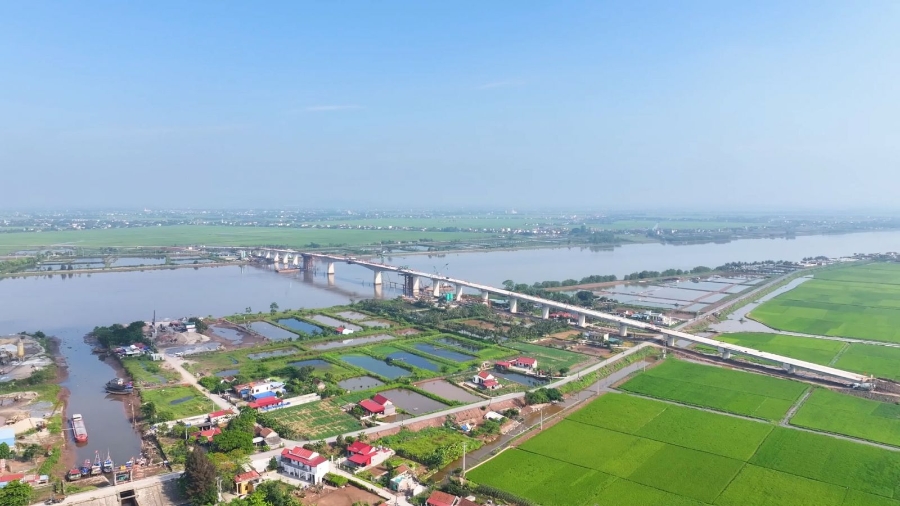
The study covers approximately 6,670.67 hectares, with the aim of transforming the Day River into an ecological, cultural, and economic boulevard, connecting urban areas, agriculture, industry, fisheries, and tourism through a continuous system of open spaces on both banks.
At the conference, Japanese experts presented proposals and ideas for the zoning plan for the urban area on both banks of the Day River (the section from the overpass of National Highway 37C to the overpass of the North-South Expressway CT01).
Accordingly, the current status of the Day River as a North-South connecting axis of Ninh Binh province passes through production hubs, urban areas, tourism, aquaculture, and important national transportation routes such as National Highways. This is an ideal condition for organising a "Riverside Economic-Ecological Corridor," in which the North plays the role of urban-industrial-logistics; and the South plays the role of agriculture-fisheries-export. The planning of the entire route will form a multi-sector economic value chain along the Day River.
With a research scale of 6,670.67 hectares, the planning study scope covers the West and East banks of the Day River. The Day River will become the province's ecological-cultural-economic boulevard, connecting urban areas, agriculture, industry, fisheries, and tourism through a continuous open space system on both banks.
The planning is expected to improve the quality of life; attract investment, balance economic and ecological development; reduce flood risks; increase regional urban recognition; and shape Ninh Binh's identity.
At the conference, delegates contributed ideas on planning issues, emphasising the need to carefully calculate the difference in water levels between seasons and the water regulation capacity; ensuring dike elevation and flood drainage corridors; the scope and nature of the planning; the arrangement of landscapes on both sides of the river; and the connectivity of urban transportation with regional and inter-regional connections.
In his concluding remarks, Chairman of the Ninh Binh Provincial People's Committee Tran Huy Tuan highly appreciated the ideas presented in the zoning plan for the urban area on both banks of the Day River (section from the overpass of National Highway 37C to the overpass of the North-South Expressway CT01) by the Japanese experts.
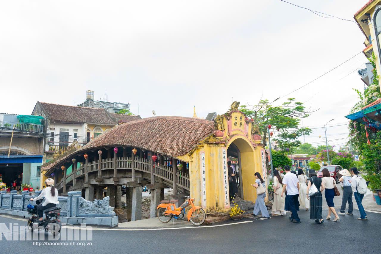
Tuan also suggested several important points for the experts to further research. In this context, the province is orienting urban development towards a green, sustainable, smart, and modern direction, closely linked to heritage cities, serving as a cultural industrial centere with the Trang An Heritage Site and the Day River space as the main cultural landscape hub. Therefore, spatial organisation needs to follow a sustainable green approach, and spatial planning must be consistent with the approved general plans of the province.
At the same time, it is necessary to respect the existing conditions on both banks of the river and protect and promote the cultural and historical values associated with local identity, ensuring smooth transport links between regions and inter-regions.
Priority should be given to using green infrastructure solutions and reducing concrete construction. In particular, absolute protection of dikes and flood drainage corridors is essential, without interfering with or narrowing the river flow; ensuring disaster prevention and control, and the ecosystem on both sides of the Day River.
Tuan assigned the Department of Construction, the provincial People's Committee Office, and relevant departments and agencies to continue coordinating and exchanging information with experts to finalise the plan, urgently develop a roadmap, select capable investors, and accelerate the implementation progress to carry out the next steps./.
Tin cùng chuyên mục