
Ninh Binh plans 6,670-ha urban area along both banks of Day River
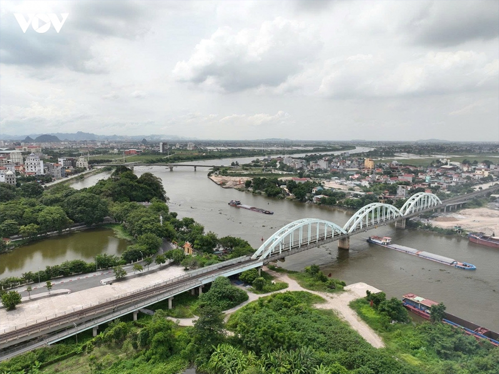
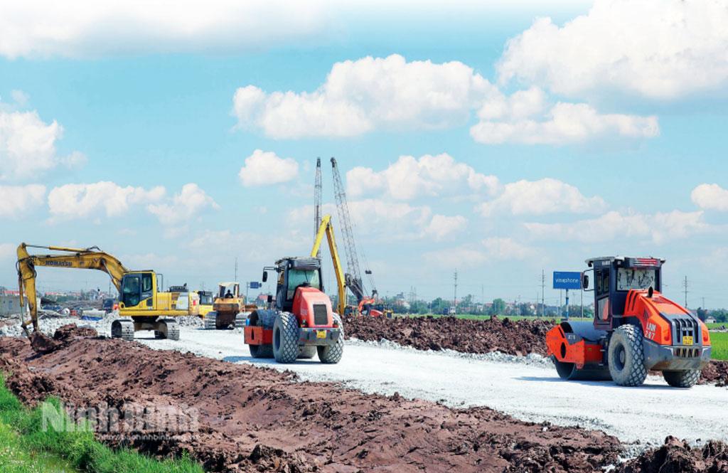
Under the approved planning task, the study area covers approximately 6,670ha, with a projected population of around 650,000. The urban area will be developed in phases.
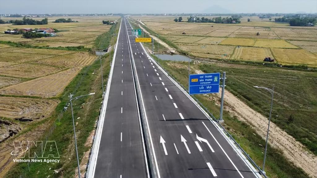
The planning area spans Hoa Lu, Tay Hoa Lu and Dong Hoa Lu wards, as well as Gia Tran, Phong Doanh, Y Yen and Yen Dong communes in Ninh Binh province. It is bordered by the planned new National Highway 37C to the North, National Highway 10 to the South, the North-South Expressway (CT01) to the East, and National Highway 1A to the West.
Of the total study area, approximately 2,446ha is located on the western bank and 4,222ha on the eastern bank, including the entire natural water surface.
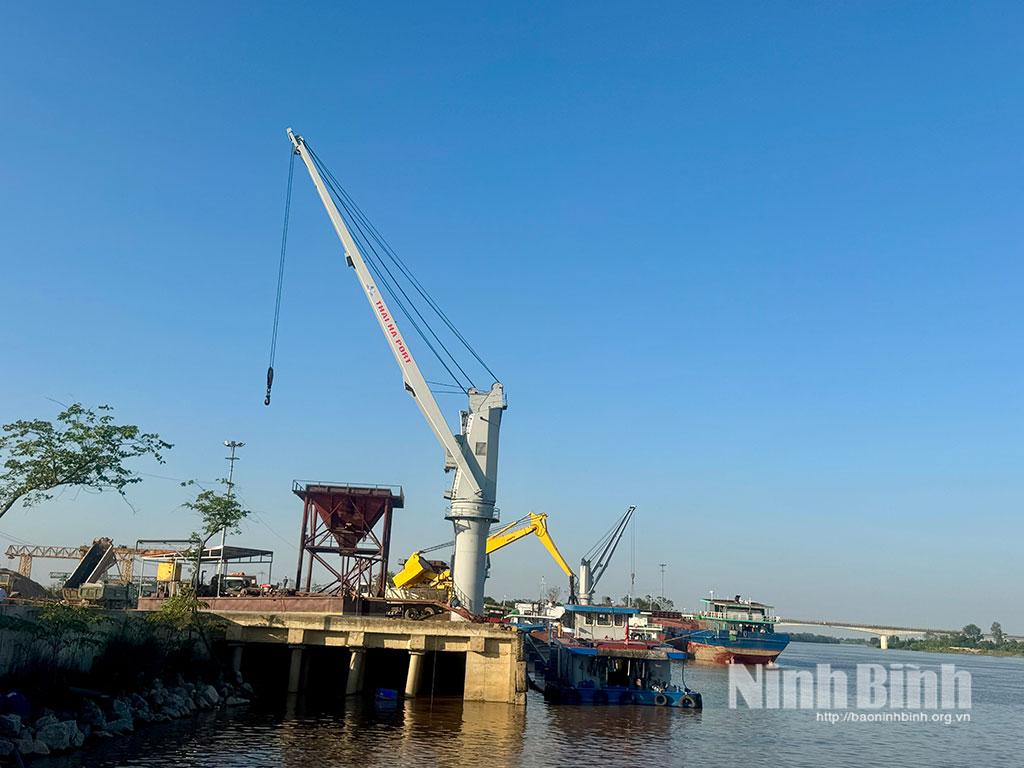
Under the planning orientation, the urban area on both sides of the Day River will serve as a major transport hub and the southern gateway to the Red River Delta. The river itself will form the central axis, linking ecological landscapes with cultural heritage values.
The eastern bank is planned as a modern new urban area with synchronised infrastructure and a smart-city orientation. Meanwhile, the western bank will focus on preserving the traditional spatial structure, village communities, waterways and historical heritage sites.
The plan also envisages land reserves for commercial, educational and healthcare facilities, parking areas and open spaces, alongside a synchronised infrastructure system to meet urban development needs.
The urban area along the Day River is expected to create a strategic growth driver for Ninh Binh as it pursues a heritage-oriented urban development model, gradually establishing a centre for the province’s administration, politics, economy, culture and services.
The planning task also calls for research into connectivity between the two riverbanks, ensuring overall spatial coherence while maintaining differences in architectural forms, landscapes and urban functions. The Day River is expected to become a key spatial axis in the emerging urban structure./.
Tin liên quan

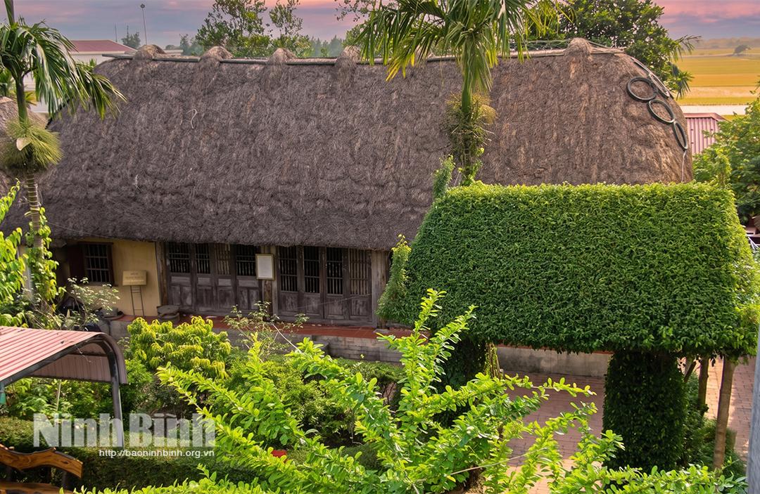
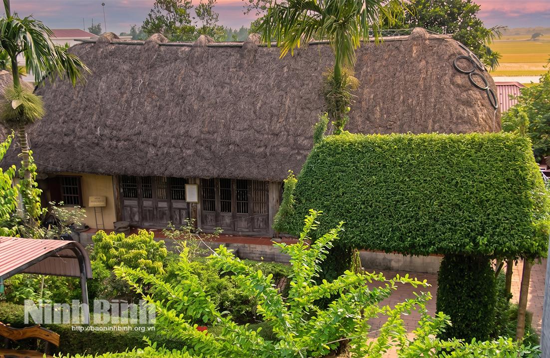
Preserving traditional sedge-thatch houses in Ninh Binh



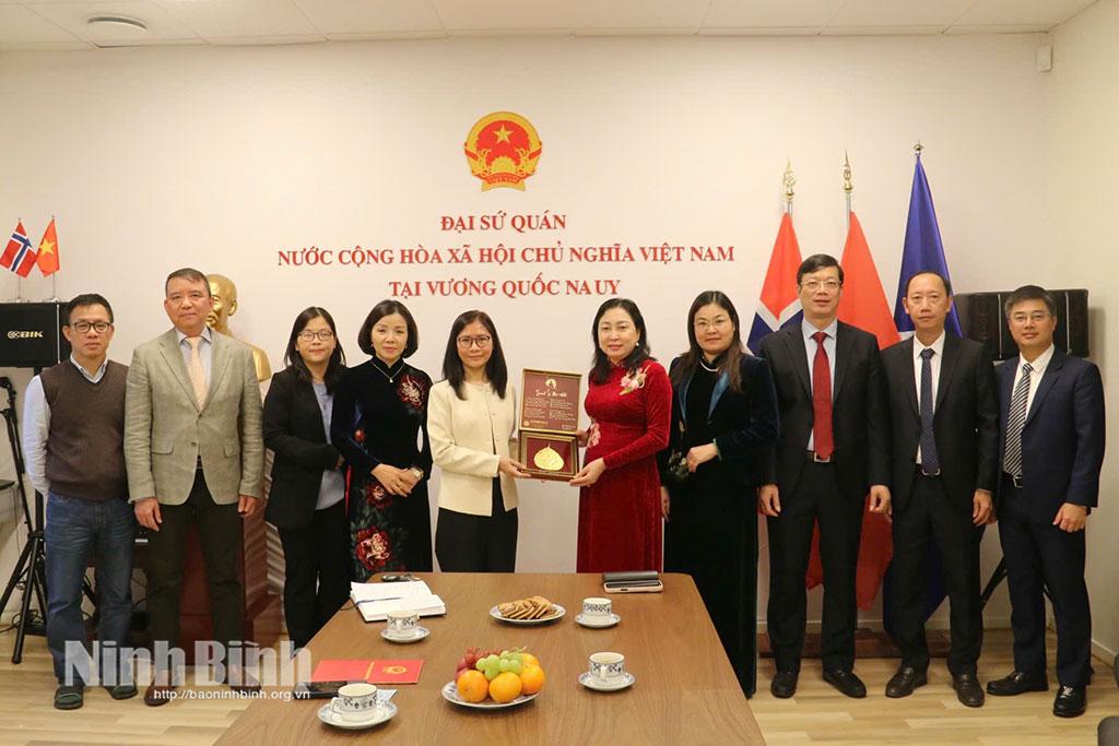


Ninh Binh strengthen friendly cooperation with Oudomxay
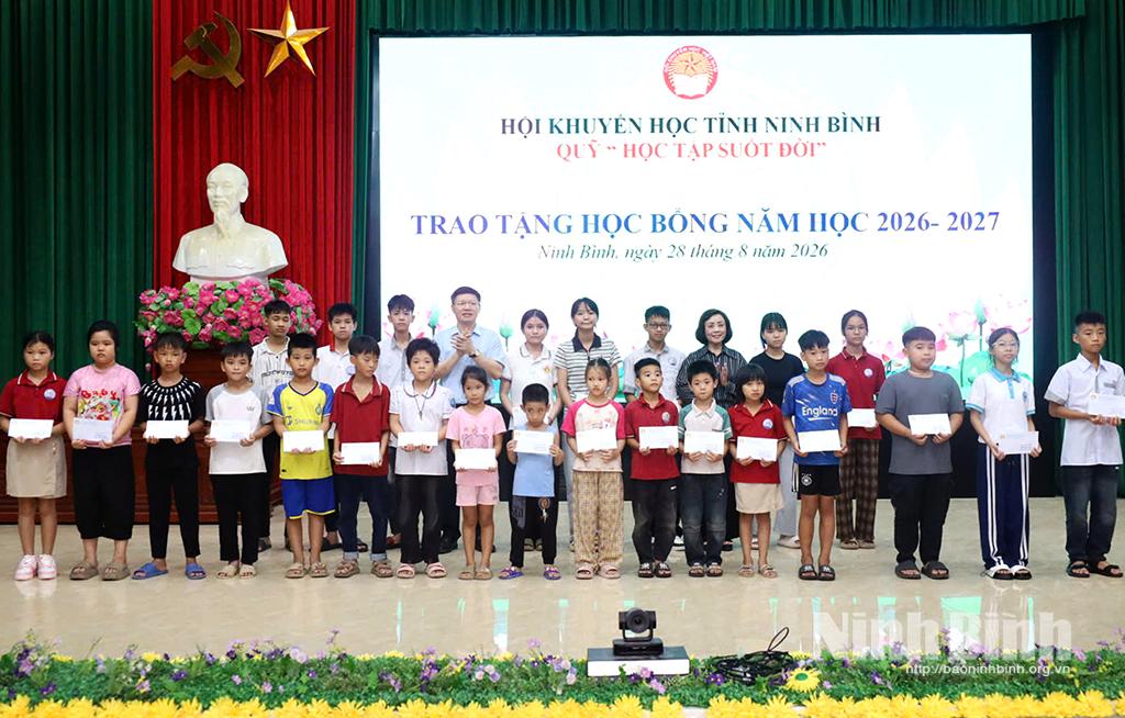
Ninh Binh mobilises resources to support disadvantaged students
Tin cùng chuyên mục